
Kailee and I planned on climbing both Noonmark and Round Mountains last week. But, rain put that on hold...
Six days later, we were looking at a good forecast and Noonmark would be the mark we were aiming for.
We drove to the Ausable Club public parking lot on Route 73 across the street from Giant Mountain's Roaring Brook Falls trail head.

It was a little different to sign a register and walk past luxurious houses before actually finding ourselves on the trail... But, that's how trail access works at the club.

Kailee would proceed to mimic their poses and burst out into laughter throughout the rest of the day... It was pretty funny...

We hit a number of ledges just as a huge cloud was rolling in. We got some nice views of Keene Valley. However, the nearby peaks of the High Peaks were covered in the same cloud as Noonmark.
Finally, we popped out of the tree line and the Summit was within our site.
"That's pretty far away," said Kailee.

"No, it actually isn't that far. It just looks it because of our angle." I replied.
It reminded me a bit of the last leg of Catamount. It's within sight, looks far away, but really isn't...

 |
| Unique benchmarks. |
We slapped our hands on Noonmark's very old benchmark which is unlike any that I've seen this year and then began to check out the Summit.
 |
| What a day for a view! |
It's an awesome spot despite the cloud that surrounded us. The elements robbed us of what would've been a full true 360 view.
The cloud also robbed us from witnessing the mystical daily event from which Noonmark's name was derived. Because of it's shape, location and angle, the sun's path cuts directly over the Summit during the 12 o'clock hour.
So we hunkered down behind a boulder out of the wind and ate our lunches.
I used my map and directed a pair of confused Canadian ladies who only knew how to say "OK," to the Adler loop trail.
 |
| Hanging at the Summit! |
Ultimately, I made the in game decision that we too would take the Adler trail descent for a loop. I had read that it was a much easier grade... Despite adding an additional mile and a half to our trip.
We got down the other side of Noonmark really quickly and passed a couple with a dog ascending the mountain via this route. They were the only people we saw on this leg of the trail.
 |
| Noonmark from the Col. |
 |
| Adler trail in the col. |
When we got back to the car we changed our socks, had a snack and drank Gatorade.
We then hopped in the car drove through malfunction junction and headed home... Or, did we?
As we neared the Northway, Kailee suggested that we stop by our favorite camping spot: Sharp Bridge. I thought that was a good idea. So we rolled with it!
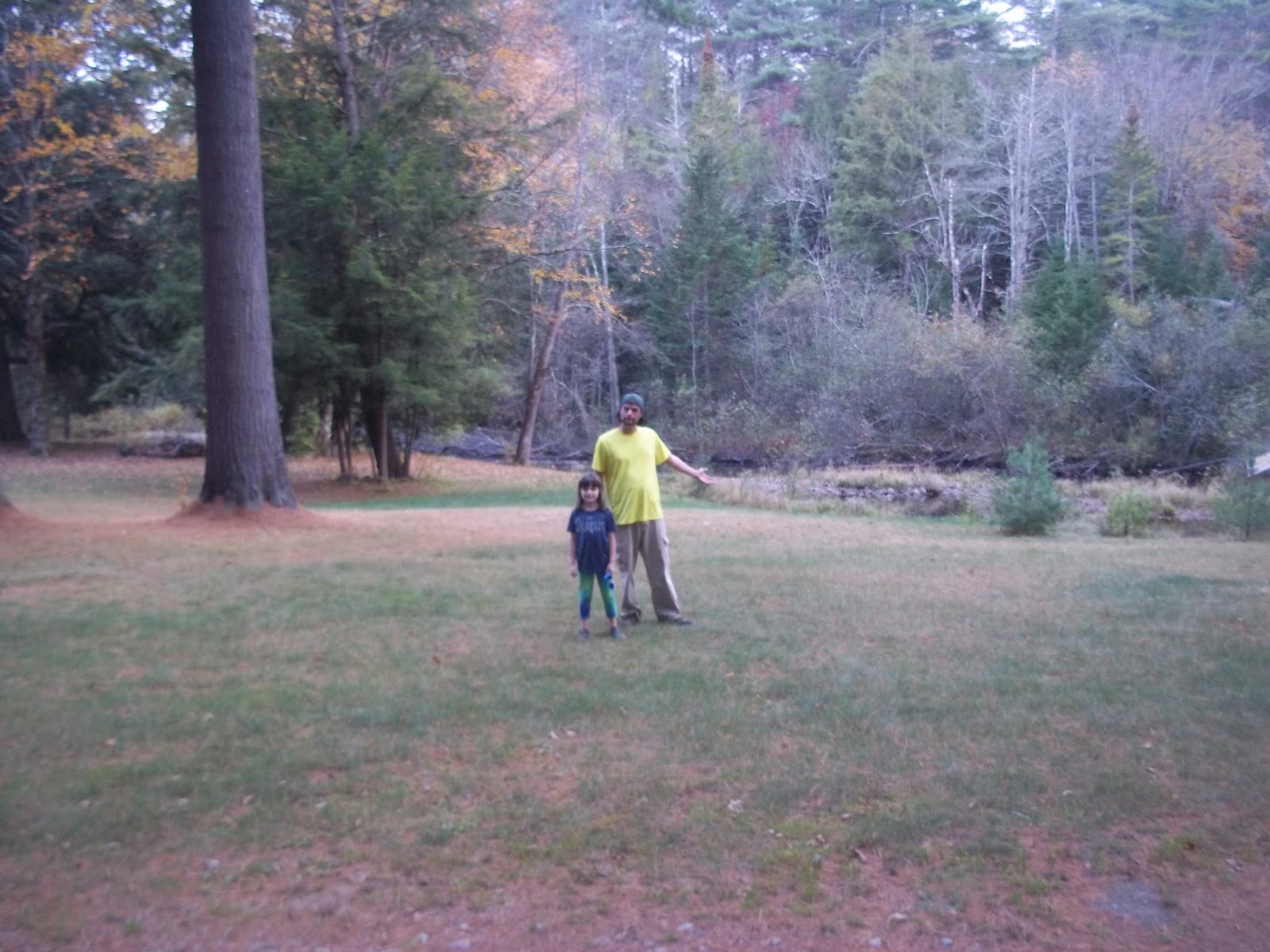 |
| Back at Sharp Bridge! |
Noonmark is right on the mark. It's a really fun mountain. The last stretch and the Summit itself was a ball and ranks high on my list for this year! We highly recommend it to those who are big fans of open rock scrambling.
Numbers Note: Noonmark is a good size mountain at 3556' above sea-level. This was Kailee's second biggest mountain to date and my 3rd biggest this year.
Noonmark Mountain's trailheads are located at the Ausable Club on Route 73 in St. Huberts. If the club parking lot is full then park across the street at Giant Mountain's Roaring Brook Falls parking lot.
No comments:
Post a Comment