Saturday, October 28, 2017

Porter and Cascade 10/22/2017


Porter.


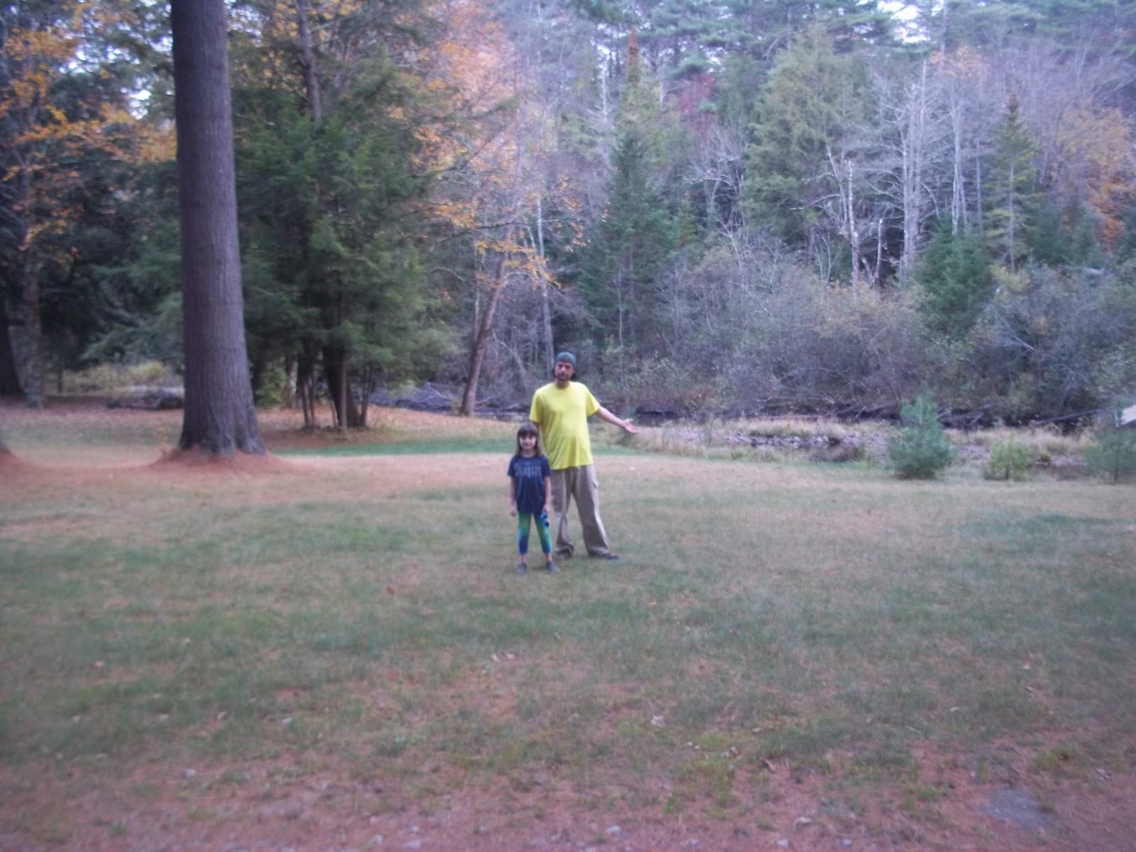
We were looking at a great forecast heading into the weekend and Kailee was feeling ambitious. She suggested we climb  Whiteface... That wasn't going to happen. I countered with Porter and Cascade.

Porter and Cascade are two of the smaller Adirondack High Peaks coming in at 4084' (#38) and 4097' (#36), respectively. They are also arguably the two most popular peaks in the park.

The draw and allure of Cascade alone is the stuff of tourist legend. It's a mountain that draws everyone out, tourists, aspiring 46ers, trail runners, fit people, out of shape people, and day hikers like ourselves. We've driven by the Cascade trailhead a number of times this year and there were hundreds of cars parked along the trailhead on Route 73.

Sunday would be no different.

I'm not a big fan of the concept of crowded trails. Instead of heading into this hike with a negative attitude, I began to view it as choosing to visit a place like the Lincoln Memorial or the Empire State Building. If you're in the area, then you've gotta do it sort of thing.

We parked the car across the road in the Pitchoff Mountain lot and dodged a flurry of cars as we crossed the street to Cascade.

We got to the trailhead and had to wait in line to sign the register... Fun! 

Once signed in, we made our way on the trail.

We passed a little runoff shortly into the hike and a couple of red squirrels scurried around chasing each other completely unfazed by our presence. I'm sure they've seen their fair share of humans before.


The trees had lost all of their leaves and any time we turned around we could see the menacing looking Algonquin looming over us.


We worked at a pretty good pace and we sure saw a lot of faces on the trail. The most that either of us have seen this year. We said countless "Hi's" as we walked... which might've been more tiring than the mountain itself.

At this point, there was a group of people walking at a pace that perpetually kept them about 50 yards behind us. They had a walkie talkie set at a screaming decibel. Anything within a half mile could have heard the damn thing. It was beyond annoying.


Lookout Ledge.
Soon enough we were at a lookout ledge which offered a nice view and spot to take a quick break.

We continued on and shortly came upon the trail split. Left led to Cascade and right led to Porter.

We had been planning to head right to Porter first but we didn't want the walkie talkie crew to see us go that way and have them follow us by a mistaken chance.


Porter from the col.
So we stood by the sign and acted like we were taking a break. Once they had passed, we began our descent into the col. It was a gentle 300' drop to the middle of the col where we could see both Summit-areas of Cascade and Porter.


Moving forward, we began the brief ascent to Porter. We hit a False Summit and enjoyed it's pretty views before hitting the real Summit.

Porter offered a nice look at the Great Range and the mob of people on Cascade's Summit.


Initially, we were the only people there. Soon we were joined by a number of other smaller groups. We sat down and enjoyed a lunch consisting of mini bagels and cheese sandwiches, almonds, jerky and Air Heads.


After our mountaintop feast we strapped on our backpacks and set out to bag Cascade.

It was a brisk walk back and Kailee proceeded to list her favorite mountains that we've climbed this year in numerical order. She listed Porter as #4. From everything I understood about Cascade, I had a feeling that Porter was going to soon drop a spot. A prediction that proved correct.

We got back to the junction and proceeded towards Cascade. We crossed some wooden walkways and popped out of the woods with Cascade's large, cleared peak right in front of us.

We joyously jogged towards the top for a moment before slowing back down to our normal hiking pace as we neared a ladder.


We were then approached by Ian the Summit Steward. Himself a 46er, ADK member and volunteer. He was readying to make his descent but took a few minutes to chat with us. We told him that this was our third 46er and Kailee told him that she too wanted to be a 46er.

Ian replied to her "If you were able to climb Giant then you should have no problems with the other 46ers."

I thought they were very kind words of encouragement.


Kailee & the three 46ers that we've climbed this year.
Giant (background), Porter (foreground), and standing on Cascade.

We immediately began looking for the benchmark after our chat with Ian. Kailee found the highest one and said "Dad, it's right here!"

She then proceed to celebrate by throwing her arms in the air and yelling in a 'cool' voice "Cascade! Yeah Cascade, you're the best!"


A pretty funny moment that I'm glad to have witnessed.

Cascade's views are impeccable. The Adirondack fires of 1903 cleared the Summit leaving it with it's current unobstructed 360° view.


We could see the Great Range, Lake Placid, Saranac Lake, the Keene Valley, Champlain Valley and... of course... Whiteface.

Kailee played with a bunch of dogs and was oblivious to the fact that I was making a phone call to put in place the final details of a last minute surprise for her.

My parents wanted to drop off a Halloween costume for her. So, I asked them the night before to meet us in Keene to make the exchange. Unbeknownst to Kails, they would be meeting us at the trailhead.

Cascade.
We had a great time at the Summit and it wasn't that bad dealing with a bunch of people there. We grabbed our packs and began our descent.

It was a nice and easy walk back down.


Just as we were nearing the register, who came into view? Grandma and Grandpa!

Kailee was very surprised, confused and happy to see them.

My Mom told her that it was great that she had finished two big mountains in a day.

Surprise!

"It doesn't count until we check the book (trail register)," Kailee replied.

The girl knows her rules of hiking!

We walked the 100 feet to the register, signed out and slapped high five. Job well done.


After our hike we picnicked at the park between the Cascade Lakes with my parents. It was a satisfying way to end our adventure!

Cascade and Porter are located on Route 73 on the border of Keene and North Elba.

Hiking notes: We keep learning and trying to prepare as best as possible for our hikes. We saw a number of people completely unprepared for what lay ahead of them. Some didn't even have water. A few people were dropping like flies. Prepare yourself for the wilderness and Mother Nature! H20 is a must!


Wednesday, October 18, 2017

Noonmark Mountain 10/15/2017


Kailee and I planned on climbing both Noonmark and Round Mountains last week. But, rain put that on hold...

Six days later, we were looking at a good forecast and Noonmark would be the mark we were aiming for.

We drove to the Ausable Club public parking lot on Route 73 across the street from Giant Mountain's Roaring Brook Falls trail head.

We got out of the car and walked down the club's dirt road and turned left at the Golf course and signed the trail register and continued up another dirt road.


It was a little different to sign a register and walk past luxurious houses before actually finding ourselves on the trail... But, that's how trail access works at the club.

Quickly enough, we were at the trail which splits immediately. We took a right hand turn and began our climb on the Stinson trail.

Yellow leaves covered the ground for the first portion of the hike. We passed a middle-aged Canadian couple practicing yoga and chant like poses at a little spot facing towards Giant.


Kailee would proceed to mimic their poses and burst out into laughter throughout the rest of the day... It was pretty funny...

Anyhow, the first 2/3rds of the hike were fairly easy with a mix of trail, rock piles and boulder highways.

We hit a number of ledges just as a huge cloud was rolling in. We got some nice views of Keene Valley. However, the nearby peaks of the High Peaks were covered in the same cloud as Noonmark.


Finally, we popped out of the tree line and the Summit was within our site.

"That's pretty far away," said Kailee.


"No, it actually isn't that far. It just looks it because of our angle." I replied.

It reminded me a bit of the last leg of Catamount. It's within sight, looks far away, but really isn't...


That being said, the last quarter mile to Noonmark's Summit throws a bit of variety at you. There's ladders and lookout ledges. As well as some bare rock scrambling which is tricky alone and twice as tricky when helping a seven year old up the boulders. But, we didn't have any incidents with it and moved along fairly quickly. I thought this part was both intimidating and a lot of fun!

Unique benchmarks.
We were within meters of the Summit and the wind really picked up. I'm guessing 30-40 mile gusts. But, it was also very warm which was strange considering it was mid-October.


We slapped our hands on Noonmark's very old benchmark which is unlike any that I've seen this year and then began to check out the Summit.


What a day for a view!

It's an awesome spot despite the cloud that surrounded us. The elements robbed us of what would've been a full true 360 view.

The cloud also robbed us from witnessing the mystical daily event from which Noonmark's name was derived. Because of it's shape, location and angle, the sun's path cuts directly over the Summit during the 12 o'clock hour.

So we hunkered down behind a boulder out of the wind and ate our lunches.

I used my map and directed a pair of confused Canadian ladies who only knew how to say "OK," to the Adler loop trail.

Hanging at the Summit!
Kailee and I had planned on climbing Noonmark as an out and back trip on the Stinson trail. The cloud, wind and slippery rocks made me rethink that.


Ultimately, I made the in game decision that we too would take the Adler trail descent for a loop. I had read that it was a much easier grade... Despite adding an additional mile and a half to our trip.

We got down the other side of Noonmark really quickly and passed a couple with a dog ascending the mountain via this route. They were the only people we saw on this leg of the trail.

Noonmark from the Col.
 The loop back followed and sometimes itself was a runoff stream... Because many of the leaves had fallen, we were able to get full views of Noonmark and Round Mountain. We could even see people at the top of Round and we waved and shouted "Hello!" at them with our voices echoing off the mountains.


Adler trail in the col.
Taking the Adler trail back to the trailhead only took us a half hour longer than the Stinson trail took for us to ascend the mountain.

When we got back to the car we changed our socks, had a snack and drank Gatorade.

We then hopped in the car drove through malfunction junction and headed home... Or, did we? 

As we neared the Northway, Kailee suggested that we stop by our favorite camping spot: Sharp Bridge. I thought that was a good idea. So we rolled with it!

Back at Sharp
Bridge!
It was a nice little half hour detour and I'm glad she suggested it!

Noonmark is right on the mark. It's a really fun mountain. The last stretch and the Summit itself was a ball and ranks high on my list for this year! We highly recommend it to those who are big fans of open rock scrambling.

Numbers Note: Noonmark is a good size mountain at 3556' above sea-level. This was Kailee's second biggest mountain to date and my 3rd biggest this year.

Noonmark Mountain's trailheads are located at the Ausable Club on Route 73 in St. Huberts. If the club parking lot is full then park across the street at Giant Mountain's Roaring Brook Falls parking lot.

Monday, October 9, 2017

Mount Gilligan 10/9/2017


Mount Gilligan wasn't on the radar for our planned hike on Indigenous Peoples Day (that's Columbus Day for you old folks!). Kailee and I were set to do a big loop at Round and Noonmark mountains...

Then Hurricane Nate hit the radar and was on a collision course with the Northeast. Round and Noonmark were out.

But, we held out hope that maybe we could hike a smaller mountain in the rain. That's where Gilligan came into play.

Mount Gilligan is a owned and cared for by the Champlain Area Trail (CAT Trail) land trust. The trail is only a mile long and the Summit is only a mere 1200'+ above sea level.

We were pretty confidant that we could throw on our rain gear, face the elements, and get to the top of the "little buddy."


And, we did!


We began our trek at a quick pace. There was a very tiny scramble near the start of the trail but that ended up being it. The rest of the trail is mostly a straight shot to the viewing area. There's a number of ledges that would offer views in better weather but all we could see was clouds.


We boogied through the heavy rain over a false Summit. Fortunately, it was pretty warm out and the precipitation didn't stop Kailee from filling her pockets with acorn souvenirs.


"Summit Viewing Area."
CATs has done a nice job of marking and maintaining the trail on Gilligan which was greatly appreciated on a day like this. We held hands to navigate through some of the wetter areas and made it to the "Summit Viewing area" in less than an hour.


Gilligan's true Summit.
The maintained trail ends at the viewing area but we took a herd path to the tree covered true Summit just to be perfectionists.


Obviously, we weren't going to be afforded any majestic views due to the conditions. So, unfortunately Gilligan goes in the books as the mountain we spent the least amount of time on top of this year.

We briskly -but safely- descended it's trail. Once again holding hands during the tricky and wetter portions of it.

The entire hike out and back took just under two hours. It was fun challenging the elements but we were also happy to be back at the car and slipping into warm clothes.

We were both bummed that our Noonmark/Round plan had to be scrapped. But we're glad that we made the best out of a soggy situation at Mount Gilligan!


Mount Gilligan is a nice place for families with little ones to enjoy. I wouldn't suggest hiking it in a tropical depression like we did. That being said, I wouldn't mind revisiting this trail on a nicer day and seeing how expansive it's views really are.


Mount Gilligan is a two mile round trip hike and it's trailhead is located on Scriver Road off Route 9 in New Russia.

Sunday, October 1, 2017

Baxter Mountain 10/1/2017


This was the first week where I really struggled on deciding where to hike with Kailee. School is in full swing and the days are getting shorter. I've come up with a list of smaller mountains with short trails... But, it wasn't until 10:30PM last night that I settled on our next hike.


I decided upon climbing Baxter Mountain near Elizabethtown and it ended up being a great selection for an afternoon Autumn hike!


The first few feet of the trail are on private property but there is a small custom sign welcoming you to the mountain. I was a little surprised by the lack of a trail register as we passed under some power lines and onto the DEC maintained trail.

We followed the blue trail discs up Baxter's gentle switchbacks. Kailee noted that we were gaining elevation but when we turned around we couldn't see anything through the trees.


On the tree note: I'd have to say that Baxter is one of the "healthiest and hardiest" mountain forests that I've seen this year. The entire mountain, including the Summit area has big, healthy red pines... Which is impressive on a lot of levels.

It was a very easy summit and the weather was absolutely perfect. It took us under 40 minutes to get to the peak.


Marcy.
We explored the ledges and views. We could see Giant and many High Peaks. Kailee befriended some kids who had made their way up the hill with their families.


After lunch, we decided to follow the yellow trail markers leading past the Summit which led us to some ledges with much more wide open views than the Summit affords.


I then walked back to the Summit and informed the other family of our discovery since they were questioning where the yellow discs led a little earlier.


Trail to the bumps.
We went back on the yellow trail and went further down it than the first time and found one more lookout spot which gave us a view towards the North.


The tip and castle
of Whiteface peeping
over a mountain in the
distance.
From here, we were able to spot just the castle and peak of Whiteface peeping over another mountain. We've seen a lot of Whiteface this year... But, this was certainly the least of it that we've seen!

Realizing the yellow trail made a quick descent from this point, we turned around to make our way back to the car.

We bumped into an older man on our way back towards the Summit.

"Oh, I almost never see anyone on this part of the trail!" He exclaimed.

"Yeah, we were just checking out the different views," I replied.

The man proceeded to tell us that we had just gone over"Bump One" and "Bump Two" and back. He confirmed that one could make a loop out of using the yellow trail down and crossing a meadow "that's usually full of ticks."

He told us the area where we had turned around at is where he usually turns around and that makes it a 3.8 mile round trip. Considering we backtacked to the other family earlier, we probably hiked 4 miles total.

I definitely suggest adding the bumps on to your hike or you're selling yourself short.

It was a really quick romp down from Baxter's Summit. We were back to the car in just over 20 minutes.


This ended up being a perfect mountain for an afternoon Fall hike. It has a nice canopy that follows you up and plenty of trees to get some shade on top on hotter days. And, the views are very pleasant.

One of the rare patches
of mushrooms we spotted
on Baxter.
One thing I noticed was that I didn't see as many mushrooms and fungi on Baxter in comparison to the other trails this year... It is possible many of them were hidden under leaves.


 We both recommend Baxter for families with small kids. Its a nice little hike that everyone can enjoy.


Baxter Mountain's trailhead is located on Route 9N across from Hurricane Road just outside of Elizabethtown.