Wednesday, August 8, 2018

Tabletop 8-6-2018


"Is there a table on Tabletop?"

Kailee pondered this question for a number of months... It was time to find the answer on what would be Kailee's Birthday hike! (Her birthday was the following day).

Looking at the stats from our Phelps hike, I figured that we could probably sleep in a little before this adventure. We've been getting up really early for our last few treks in the High Peaks. So this was a nice change.

We arrived at South Meadow, signed in at the register and hit the Marcy Truck Trail at 10AM.

The weather was great and raspberries lined the trail. We munched on handfuls of the delicious wild fruit as we walked.

I like the truck trail because it's pretty soft on the feet and one can cover the 2.8 miles to Marcy Dam pretty quick. We stopped at Pelkey Brook for a minute. The last time we were here, the brook was roaring... This time it was just a dribble.


Marcy Dam.


We arrived at Marcy Dam at 11:15 AM and took a 20 minute break. We chatted with a Dad and his two boys from Syracuse for a bit. They were headed to Phelps... So was everyone else as it seemed. The trail registers were loaded with groups of people heading to that destination. I was glad that we were heading to a place that was in "less demand."

I felt like we really dawdled after resuming our hike on the Van Hoevenberg trail. Our pace wasn't excruciatingly slow but it just seemed like we were taking it extremely easy... Not a bad thing!

At the turnoff for Phelps, a sign reminded me that we would be heading towards Indian Falls as well as Tabletop. I had noticed that the waterfall was only a little further past the turnoff for Tabletop while researching our hike and totally forgotten about it until this moment.

Sticking to the right!

I suggested to Kailee that Indian Falls might be a worthwhile visit before climbing Tabletop and assured her that the side-jaunt would only be a difference of a few hundred feet. She agreed.

At this point, the Van Hoevenberg trail led us up the shoulder of TR mountain. It wasn't a strenuous stretch by any means. We ran into a number of people including a chatty Canadian woman who was "crazy" about her "trekking poles!"


Phelps from the Van Hoevenberg trail
on the shoulder of TR Mountain.


We arrived at the junction for Tabletop at 1:35 PM. A resting hiker told Kailee that she was "the youngest kid that I've seen all day!"

A number of people asked Kailee "How old are you?" throughout the afternoon.

"Seven," Kailee would reply, "But, I turn Eight tomorrow!"

Which would be met with a chorus of "Happy Birthday!"

Ten minutes past the Tabletop junction, we arrived at Indian Falls! The waterfall was down to a trickle. But, the vista from atop the falls was spectacular! An amazing view of the MacIntyre's!

The Macs from atop Indian Falls!
Enjoying a snack at Indian Falls!


We rested and had a snack while absorbing the scenery before heading back to the Tabletop trail.

Tabletop's trail is unmarked. But, it's hard to lose it. It's the long strip of mud heading upwards in a gnarly second growth forest that is ready to slice and cut you up if you step off the trail. This may be the muddiest trail that we've ever been on. Don't dress to impress if you're going to hike this mountain.


As we gained elevation a lovely breeze rolled in and cooled us down a little.

The forest gave way to stunted pines and flag trees as we neared the top. Turning around offered us another view of the MacIntyre's (which we would also enjoy on our descent later).


Field mouse.

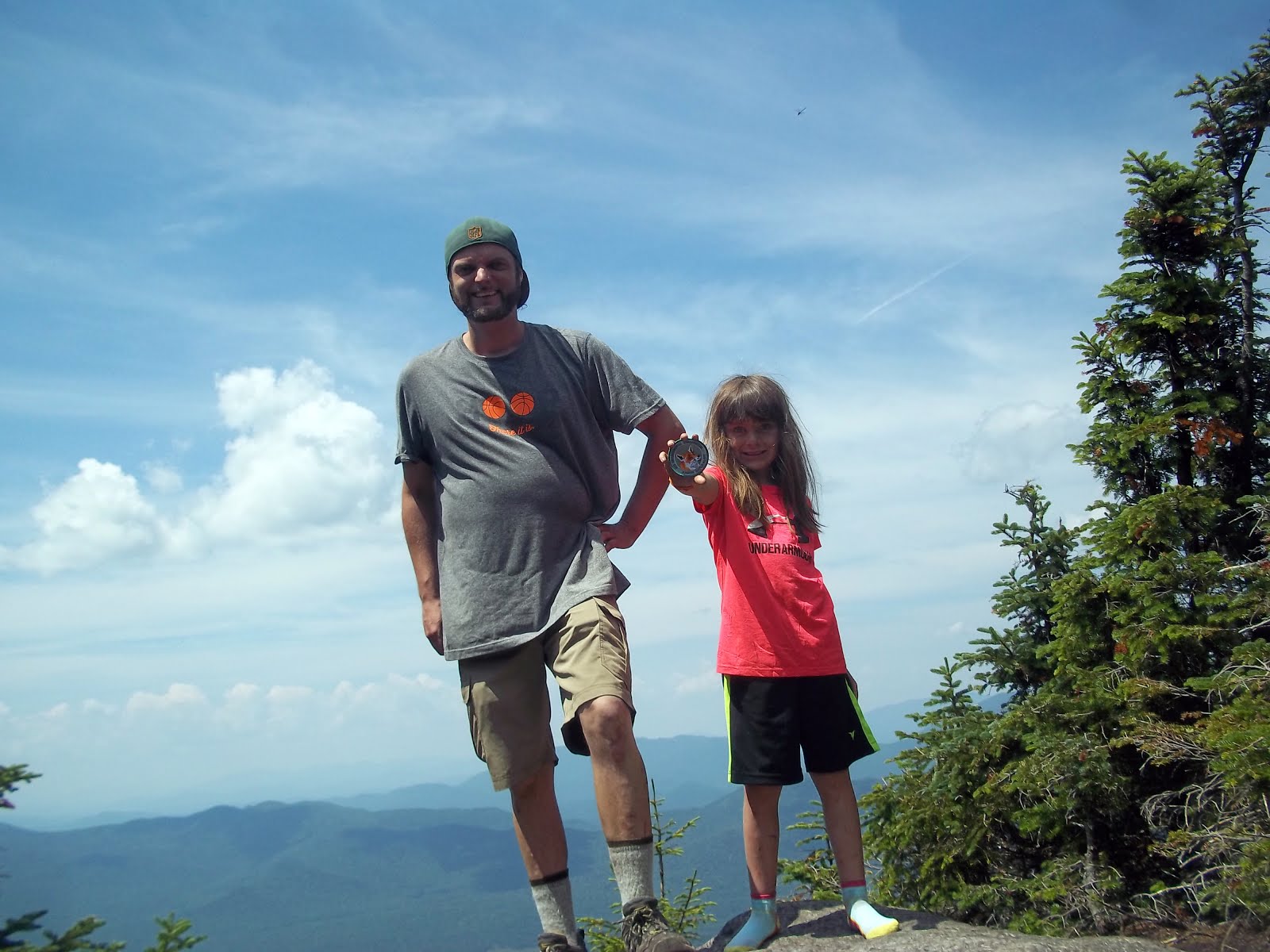
We hit the summit at 2:54 PM and had the place to ourselves for about 45 seconds... A couple arrived just after us and another group of hikers followed them shortly after.

Tabletop is mostly tree-d in and it's overlook is very small.

Kailee looked around and confirmed there was "No table on Tabletop." Aw shucks!

While it's not the widest view out there, it did afford us the closest view of Basin, Haystack & Marcy that we've had to date. From the many angles that I've previously viewed Basin, it resembled the spikes at the end of a stegosaurus tail. It was neat looking at it "head on" from Tabletop.


Marcy.

Haystack.


We found a bench-like rock and sat down for lunch. We eat tuna sandwiches that I prepare on the spot for most our hikes. But, this time we tried something a little different: Luncheon Loaf (aka Fake Spam) sandwiches with mayo! A decent and filling change of edibles!


Luncheon Loaf!

As we finished up our lunch, all of the other hikers left. We finally had the place to ourselves. We took pictures and enjoyed the sounds of nature.

We began our descent down the muddy trail at 3:40 PM.

"If I'm gonna come back here" Kailee stated in reference to the mud, "I think I'd wanna do it in Winter."

A fair assessment.

We got our muddy feet off Tabletop at 4:25 PM and proceeded back towards Marcy Dam.

We continued to run into a lot of people on the Van Hoevenberg trail including a Jewish family consisting of a father and his three boys who had just ascended Mount Marcy in long sleeved white shirts and black dress pants. That wouldn't be my choice of apparel for a 14 mile hike on a hot day... Power to them!


A cascade of water flowing off a log near
the Van Hoevenberg trail.
This photo was taken by Kailee.


We arrived back at Marcy Dam at 6PM and took another break. It was dinner time and dozens of campers were enjoying their meals around the stream. We took everything in one last time before departing for the car.

Kailee's leg cramped up on the truck trail (first time this has happened on our hikes). She powered through the pain and drank water in hopes of it going away. She was relieved to get back to the car at 7:15 PM and be able to sit and rest her leg. She was also very happy to have completed her 15th High Peak on the eve of her birthday.


15 High Peaks down and relieved to sit in the car!
Selfie by Kailee.
The past year of Kailee moving from regular hikes to learning the trails on mountain hikes has been amazing. She constantly impresses me with her abilities and the way she absorbs hiker knowledge.  I'm very proud of her and am glad that we had a great time on her big Birthday Hike!


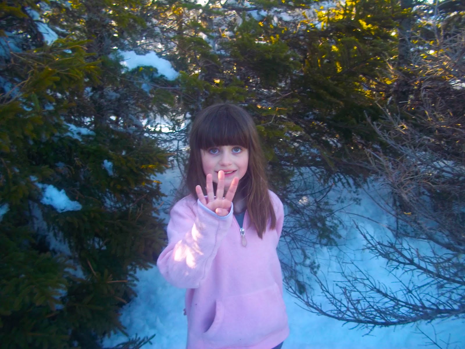
Birthday fun on Top of the Table!


Tabletop hike Stats:


12.5 Miles
2707' Total Elevation Gain
9:21 Total Time


Friday, August 3, 2018

Whiteface 7-30-2018


Whiteface!
Our 14th High Peak!


Kailee spent last week in Maine on vacation with my parents. One of our conversations on the phone went like this:

Me: You better go grab Katahdin while you're there!

Kailee: I was just saying that... I can get it... I need a few years but I can get it!

I'm pretty sure "I need a few years"  meant walking into Baxter State Park and hiking Katahdin solo.

Me: Well, just so you know. If the weather is good... Our next hike will be Whiteface.

Kailee (voice cracking in excitement): YESSSSSSSSSSSSSSSS!


Kailee has asked me about climbing Whiteface on a weekly basis for almost a year
. The mountain's popularity & aura (and castle) captured her imagination.

Brothers Bob and George Marshall along with their trusty guide Herb Clark were the first people to climb all 46 of the Adirondack High Peaks. The first High Peak that they climbed together was the 'Face on August 1, 1918.


Bob Marshall & Herb Clark.

For the past few months, I planned on lining up Kailee's dream hike with the 100th anniversary of the Marshall's & Clark's trek.

Preparing for this hike was pretty easy on my part. In April, we "accidentally" hiked Whiteface's sister peak Esther... On that day, we set out to climb the sub-peak Marble Mountain and scope a little bit more of the trail... If possible... The conditions ended up being so nice that we were able to bag Esther in 3' of snow!


Esther. 4-22-2018.
In a few feet of snow.

That experience helped immensely in gearing up for Whiteface.

Marble Mountain is an Adirondack "Mean Mile." 900' of elevation gain over 9/10th's of a mile. It's an unforgiving little climb. My plan was to take it slow up Marble with a short break at it's summit. Then, keep the pace easy as we worked our way up Lookout Mountain before picking up our pace on the ridge to Whiteface.

We arrived at the Atmospheric Scientific Research Center at 8 AM and were on the trail 10 minutes later.

Kailee rocked a USA Olympic shirt that I recently picked up & customized by adding the number "14" to it. A fun memento serving as a nod to Whiteface's Olympic history and representing our 14th High Peak!

We stuck to the plan. We took our time walking the old tow-rope ski path on Marble - which is appropriately named... Besides the quick elevation gain over this "mean mile," stepping over-and-on a million loose rocks rocks is like stepping on a bunch of marbles!


Old Ski Patrol shed on Lookout.


I feel that our slow and steady approach to this stretch of the trail was perfectly executed. We arrived at Marble's summit at 9AM. We took a quick break and took in the view. After a snack, we began the trek up Lookout Mountain.

Lookout is much more forgiving than Marble. There's not many views on this stretch of this trail but the going is pretty easy. 


We passed the time by discussing some High Peaks that we could try next year... And, by making goofy jokes.

We arrived at Lookout Mountain's ski trails at 10:57 AM. We took a nice snack break at the ski lift. From this point, we had a nice view outwards. Although, the immediate view of the ski area was kinda ugly in my opinion... I'm sure it's nicer in ski season. Garbage left by skiers in Winter is unappealing in the Summer.


A view towards the Great Range
from the ski trail on Lookout.

The ski lift area offered a nice view of our target.

Whiteface was in reach.

We resumed our venture...


It's right there!


After a few hundred feet back on the trail and I realized something was missing... Trekking poles... I jogged back to the ski lift and retrieved them while Kailee sat & waited next to my backpack.

With all of my gear in tow, we were ready to proceed.

Without saying a word, Kailee led the charge.

She jumped into a mode that I've never seen out of her.
This was the first time that I had to work to keep up with "Pokey Moonshine."
(I dubbed her with this trail name a few weeks back).

"I can climb that! I know how to climb that!" Kailee shouted when we hit the large retaining wall separating the Whiteface Highway from the hiking trail.

"We're not doing that," I replied.

The hiking trail parallels the road for a stretch that I've deemed "Dynamite Alley."


Kailee leading the charge above the
highway.

This stretch requires stepping on rock that clearly sits in it's current placement as a result of the explosions that created the highway.

After some jagged rock maneuvering, we hit an intersection with the Highway.

"Do you wanna take the road or the trail?" I asked.

"The trail," Kailee replied.

Good call Kailee!


Pokey Moonshine leading the charge!

This was the most fun part of the trail. The trees grew shorter as we continued along the open rock pathway. Views were offered in every direction... Including our goal.

Kailee went into "next level mode." She ripped through this incredibly fun stretch of trail much faster than I.


One of Whiteface's impressive slides.


No, I wasn't slacking on purpose... She had purpose and determination in her eyes and on the mind.


At 12:20 PM, we arrived at the summit sign stating "4867 Ft Above Sea Level - Whiteface."


We made it!

Kailee celebrated by doing a summit back-bend!


Summit back-bend!


We were greeted with astonishing views and by a mob scene of tourists. This place was a zoo! I knew there was a very strong chance that there would be a lot of people there and tried to wrap my head around that before arriving... Nevertheless, it was still very jarring.


ASRC Tower and part of the mob.


The visibility was amazing despite a faint haze to the sky. The High Peaks looked grand. However, looking at many of the smaller peaks that we've climbed over the past year was just as appealing.
A flock of ravens circled the summit and made loud shrilling caws.


Lake Placid.


We walked to the area facing the High Peaks and waved at the Research Tower's webcam so that my parents could watch us from far away on their phones.

Then we went over to the tower to check it out. The ORDA steward informed us that the elevator was being repaired but the building was still open. Inside, there was a display on how the tower "catches clouds" and analyzes the air quality.


How to capture a cloud.


There was also an old fireplace. Next to it was a picture of the Beatles. Evidently, the last time the fireplace was lit was the year that the Beatles broke up... I love me a good Beatles reference!


Old Smokey.


The Beatles "making an appearance "on Whiteface!?!?!
YES!!!


We popped out of the tower on the Northern facing side. There was no one there. I figured that it would be a good spot away from the crowds to relax and enjoy the scenery. I enjoyed a Coca-Cola and gazed at our friends Lyon, SLM, Catamount, Esther and even our little buddy Clark!


Enjoying a Coke while looking at our friends to
the North.

After a nice amount of time hanging around the summit, we went to the stairway to walk down to the castle. We both agreed that this was the worst part of our experience. It took forever to cover what should have been a quick stroll... Complete traffic jam... Tourists panicking because of fears of heights.

Very annoying.

The castle itself is pretty neat looking. I was hoping that there might be a hot dog cart or something where we could get a quick, cheap bite.


The Castle.


How naive of me. This is a tourist trap. Everything at the gift shop and cafe was outrageously priced!

So, we opted to fill our camelbacks in the sinks and grabbed a picnic table outside where I made some tuna sandwiches.

All in all, we spent 2.5 hours at the top of Whiteface. By far, the most amount of time that we've spent atop a High Peak.

There was no point in going back up the stairs to get back on the trail with all of the tourist traffic.

We walked the highway towards the junction with the trail. I spotted wild strawberries growing alongside the road and we stopped to fill up a bag of them and snack! Tart & delicious!


Wild Strawberries!

Once back on the trail, we had an enjoyable and easy descent.

"I made a little friend at the summit," Kailee said.

"Oh yeah?" I replied.

"Yeah, she said she hiked up to the top," Kailee continued, "But she and her mom didn't have any backpacks... They were tourists."

"That's alright," I assured her as we made our way through Dynamite Alley.

We got down to Marble Mountain and once again enjoyed it's view during a brief break before making it's steep descent.


A bright pink rock spotted on our descent.


With only around 100' to go before hitting flat land... I stepped on one of Marble's loose marbles and fell. I hurt my elbow and scratched up my right arm pretty good in the crash.

Finally, we arrived back at the car and exchanged a bunch of high fives. Kailee was very happy. This was her hike and she did an excellent job.

As a reward, we drove to McDonald's in Lake Placid and munched on Happy Meals while looking out the window at Whiteface. A nice way to end a big day.

Things have surely changed at Whiteface since the Marshall's & Clark first climbed it. I like to think that they would be proud of this little girl that set out to re-create their historic climb 100 years (almost) to the day. Kailee worked hard and made her dream of climbing Whiteface come true!


"Hello? Anybody there?"
(Inside the ASRC Tower at the
Summit of Whiteface).

Tuesday, July 31, 2018

Macomb, South Dix & Hough (7-16-2018)

South Dix


Camp Out

Kailee and I spent a relaxing Sunday at Sharp Bridge Campground in North Hudson. It's a sleepy little campground that happens to be one of our favorite places in the world. Sharp Bridge is close to a bunch of great trails and also hosts it's own impressive trail to the East Mill Flow and Round Pond (not to be confused with Round Pond on Route 73). There's also a side trail that leads up to Sharp Bridge cliffs.


Sharp Bridge.

We went up to the cliffs shortly after setting up camp. I noticed some recent blowdown opened up the view a little more towards the Dix Range. This was a nice view of of Macomb - the High Peak we'd be attempting to climb the following day.


Sunset at Sharp Bridge Cliffs.
Looking towards Dix.


I enjoyed relaxing as Kailee had fun fishing in the Schroon River. After that, we walked up the road to visit Courtney Pond to see if we could find a few water snakes. We spotted two.

At the end of the day, we watched the sunset back at Sharp Bridge Cliffs.

The Hike

We awoke at 6AM on Monday, broke down camp, used the bathrooms and set off for the Elk Lake trailhead parking lot. It was a quick ride. It's a small lot & it fills up quickly... Getting there early is a must.

With a parking spot secured, we took our time to get our stuff together. Then we signed the register & set out for Macomb!

We followed the Hunter's Pass trail towards the Slide Brook Lean-to. This trail is mostly flat, fairly wide and crosses a few small streams. Around halfway to Slide Brook we noticed a benchmark on a large rock in the middle of the trail.


Benchmark on Hunter's Pass Trail.


There was a bridge over a stream that recently succumbed to the forces of nature at the 2 mile mark. We rock hopped across the stream & spotted the Slide Brook camp. We had no trouble finding the cairn that led us to the unmarked trail up Macomb.

The trail gained elevation pretty quickly as we walked through the trees. Then we popped out at Macomb's "new" slide.

"So, we're climbing a slide?" Kailee asked.

"Yeah, I forgot to tell you that," I replied.


Blinding Sun over Macomb's Slide.

Macomb's slide is listed as the fourth steepest established route in the Adirondacks. It's comprised of sand and rubble. I thought it wasn't overly intimidating and it was a pretty short slide climb in comparison to Bennies Brook Slide. We practiced careful footing while ascending & tried to avoid kicking free any rocks.

Around halfway up, two guys reached the bottom of the slide and began their climb.

Turning around on the slide offered some really nice views of Elk Lake. At the top of the slide there was a cairn to the left indicating the path to the summit.


Macomb! Our 11th High Peak.
Kailee with her Junior Naturalist badge that she earned
at Sharp Bridge.


It was a short climb from this point to the Summit and only involved an easy scramble or two.  Kailee and I arrived at the summit in 3 hours and 50 minutes. Not too bad! This was our 11th High Peak and we were pretty excited.

The two Bros from below caught up to us.

"Is this Make-Em?" the one bro asked.

"Yeah, it's Macomb," I replied... I think he only heard me say "Yeah."

He and his pal were friendly and we chatted it up with them while enjoying the view on top of Macomb. They were planning on climbing all five peaks in the Dix Range & soon departed.


View from Macomb.

Another guy arrived at Macomb a few minutes after they left. He was just finishing up a hike of the whole range. This hiker and the two bros would be the only people we saw for the rest of the day. We spent 40 minutes atop Macomb before heading out.


Photogenic Tiger Swallowtail.


Kailee didn't want to descend the slide. So we took the range trail down. We hit a junction. Left would take us to the Lillian Brook exit path and right would take us to South Dix. Looking at South Dix, we made the in game decision to add it to our hike.


South Dix scramble.
Scramble and Dance on the way up South Dix.


It was maybe a 200 foot scramble on open rock from the ridge to the top of South Dix. Despite the heat, this was a lot of fun! And, the views from South Dix were quite impressive!

Our 12th High Peak: Check it off the list!


South Dix.
High Peak #12!


We departed South Dix after taking in the scenery and descended Northbound on the Range Trail. We evidently went up and over "Pough" (pronounced "Puff") but I hardly noticed that we were on a "sub-peak."


View from South Dix.

We came to a junction where a path to the East led to the Lillian Brook Trail & the Range Trail continued North to Hough... We made another in game decision to add Hough to our hike. It looked really close and my GPS confirmed it was only a short distance away.

Since we would be returning to this spot, I hid my backpack and carried Kailee's (much smaller) pack up Hough.

Compared to Macomb's Slide & South Dix's open scramble, the Range Trail up Hough felt like the most "normal" stretch of trail we had been on all day. It did have one (optional) scramble up a rock outcropping that had a nice view. I shouted "Hello" and my echo rang out for almost a good minute!

From the outcrop, it was only a few minutes until we were on our third summit of the day and 13th overall High Peak! We arrived at Hough at 2:45 PM.


Hough! Our 13th High Peak!

We were pleased and proud to be standing atop our third peak of the day when we had only set out to climb one. The view of Dix, the High Peaks & Elk Lake were a wonderful reward for such an an exciting & spontaneous outing!


Dix from Hough.

We spent around 15 minutes at Hough before descending back down to the col. At the col we ran into the Bros again and gave them a fist bump!

"You guys continued on after Make-Em, eh?" asked Bro #1.

I corrected him again and informed him that it was pronounced "Ma - Comb." This time he heard me.

"How was Hough?" Bro #2 asked.

"It's really nice," I replied "Have fun with that drop between it and Dix."

"Oh, it's really steep?" Bro #2 asked.

"Looked that way to me," I replied "Have fun."


View from Hough.

After they left, we took a snack break in the trail junction clearing. Kailee called my Mom to inform her of our accomplishment.

Then we began descending on the Lillian Brook trail. I had run out of water before ascending Hough and was looking forward to getting to the brook and refilling.

We were moving at a really good pace... And, then the trail disappeared.

We were surrounded by a warzone of blowdown. I looked for signs of a workaround and even backtracked to see if we missed a turn. All of the little paths that I found were dead ends...

I decided to plug the brooks coordinates into the GPS and bushwhack us to the stream.

This ended up being the most demanding stretch of the day. Bushwhacking in the hottest part of the afternoon crippled our brisk pace. The whack required more energy and time. I began to sweat like I've never sweat before. All of these factors resulted in me becoming extremely dehydrated very quickly.

I went from being in a great mood to completely miserable in no time. Kailee on the other hand was well hydrated, still had water and was in good spirits.

I felt like a zombie when we arrived at the stream. I tried to relax while filtering water. I was relieved to be at a water source but still physically and mentally miserable.

Kailee broke me out of this trance by cracking some jokes and saying stuff like "This has really been one of my favorite hikes. This has been really fun."
I needed to hear this. It snapped me out of my misery & helped get my mood back on track.


Thankfully, the trail was right on the shore of the brook and we were able to follow it to the bottom. We took another break when we reached the Hunter's Pass trail. Then, we began the trek back to the parking lot.


Shroom on the Lillian Brook Trail.

There were now a bunch of hikers camped out at the Slide Brook sites. We continued on and took two more breaks on our way to the parking.

Arriving at the car was an incredible relief for me. I couldn't wait to crack one of the sodas that I had stashed in my vehicle & passed a Gatorade to Kailee.


This was a much longer day than planned. Our bushwhack made it an even longer day. I personally went through quite a spectrum of emotions. But, that's what a hike is about.

The positives far outweighed the negatives. Going from peak-to-peak-to-peak in a quick succession on the Range Trail was a huge highlight for both of us. It was so much fun and the nonstop views were incredible.

Kailee was extremely proud that to have grabbed her 11th, 12th and 13th High Peaks in such a short amount of time! And, she's spot on with her assessment "That was a great hike."


"A great hike."